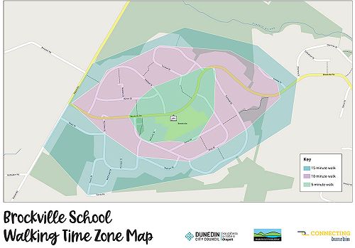
Walking Time Zone Maps
Walking Time Zone (WTZ) mapping is a great way to actively involve tamariki in creating safer active transport routes to and from school.
A WTZ map is where 5, 10 and 15 minute routes are mapped from the school gate with groups of tamariki.
Students’ addresses are plotted on a map surrounding the school. Then groups of students walk 5, 10 or 15 minutes from the school gate which is then plotted on a map.
All resources and equipment are provided including badges, decals and A2 size map.
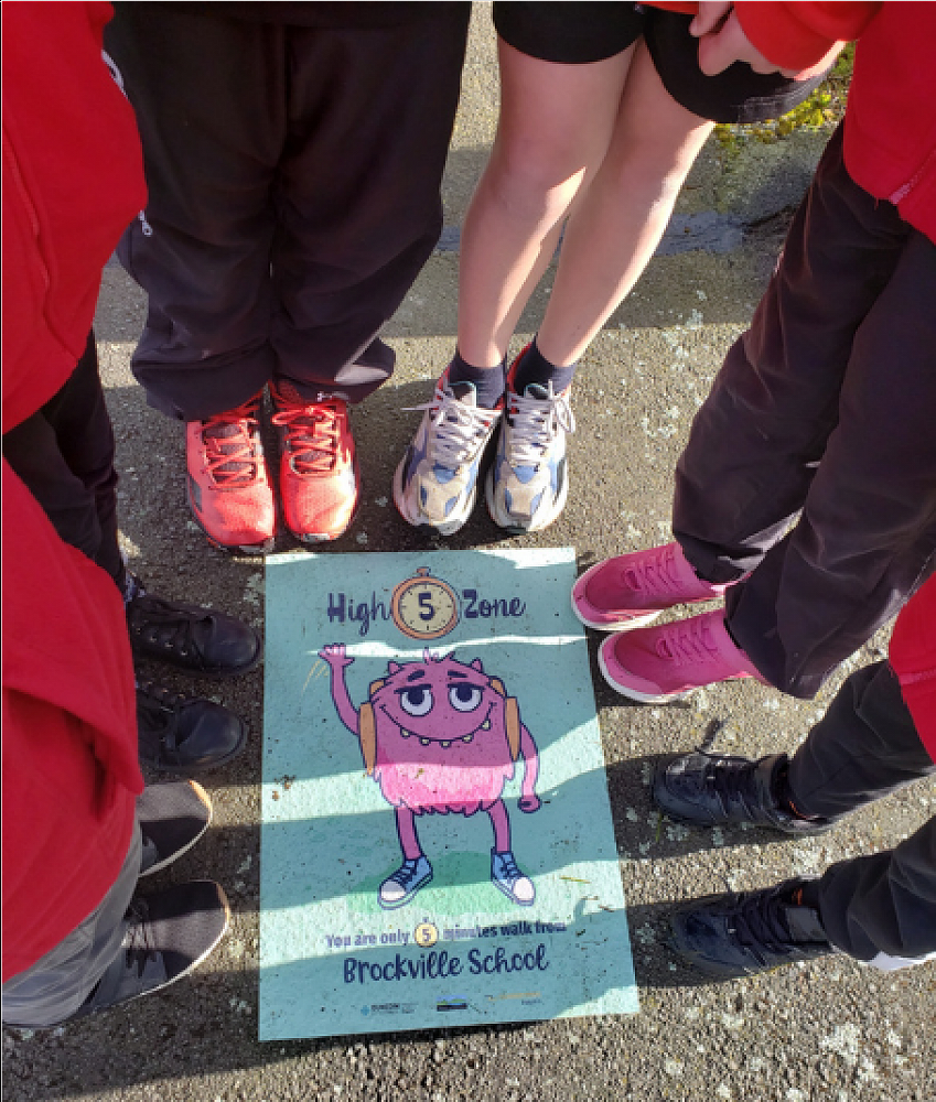
Gallery