🌏 Geography Field Trips 2021
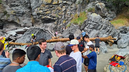
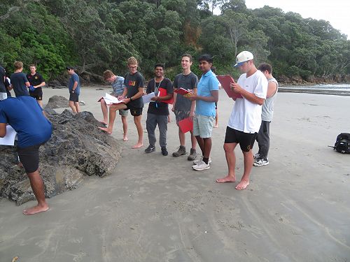
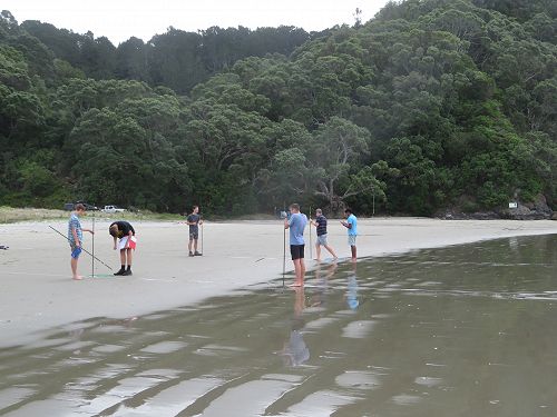
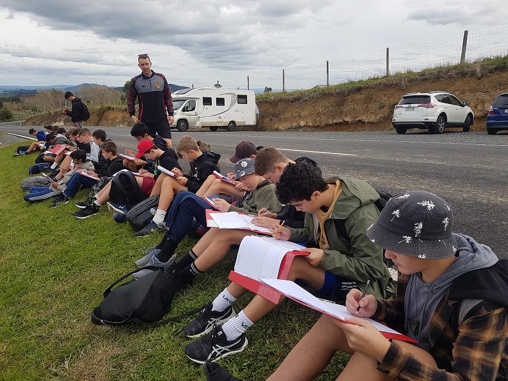
March 2021 saw the Geography department complete the first of several field trips for the year. Year 13 travelled to Waihi Beach to collect data for two of the achievement standards they study. The weather was fine and all the students enjoyed a tiring yet productive day. The beach showed evidence of a recent storm which had uncovered areas of compacted sand that are rarely seen at Waihi Beach. This enabled the students to witness first hand the natural processes they had been learning about in class. Two people we met on the beach at Bowentown had just found a large piece of the much sought after black obsidian they had found on the beach. This rock may have been transported over time from nearby Tuhua (Mayor Island). The photographs show the students hard at work collecting the data that was analysed back at school.
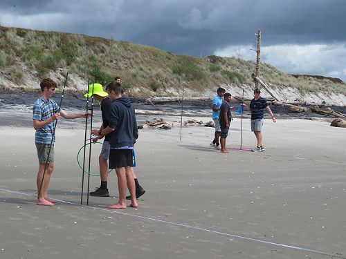
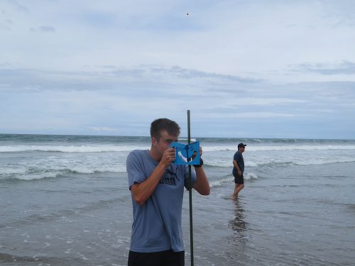
Year 12 students visited Mount Maunganui to investigate a variety of new hypotheses devised by the students themselves. This meant that a range of information was required and meant that they all had to work together as a team to collect sufficient data for everyone's project. The collection process involved questionnaires, pedestrian counts, land use mapping and field sketching. This was a very successful day and the information collected proved useful once back at school. The data was collated, processed, displays were generated, reports were written and conclusions submitted.
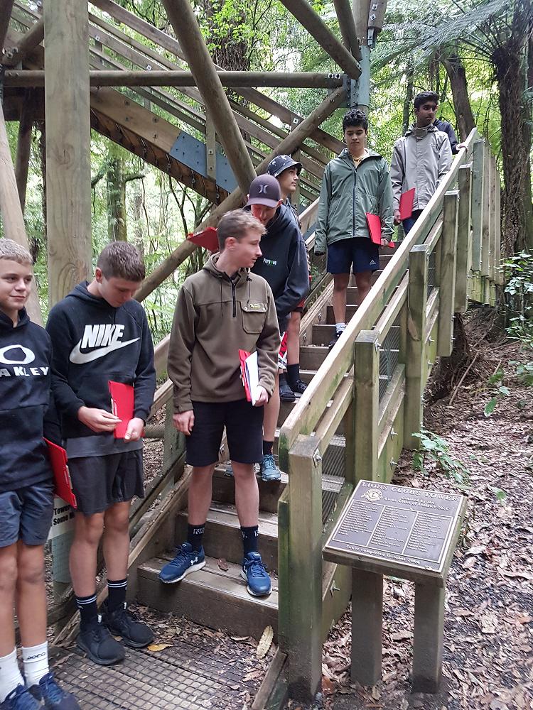
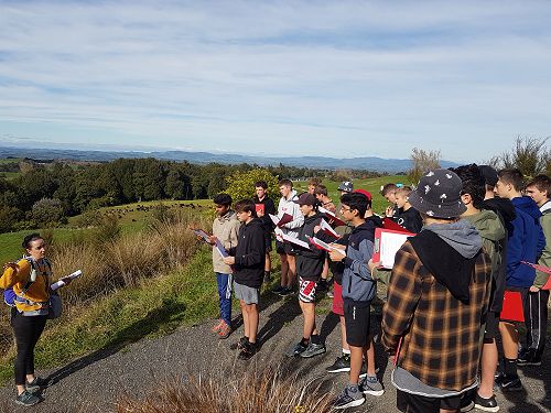
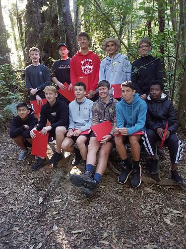
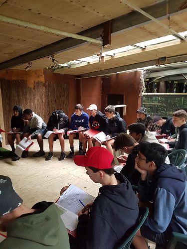
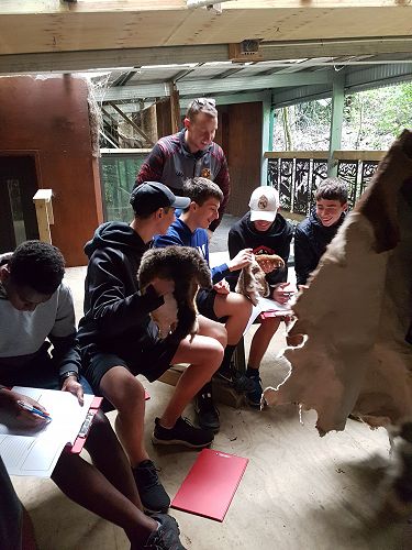
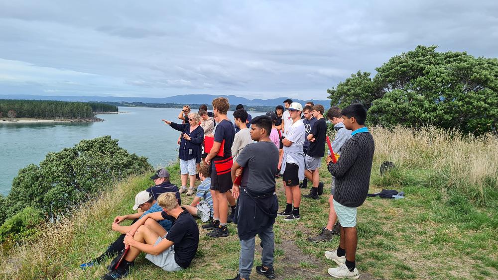
This year our two Year 11 Geography classes travelled, on separate days, to Sanctuary Mountain Maungatautari in the heart of the Waikato. The purpose of this trip was to inform the students of the importance of maintaining New Zealand’s native and endemic species. Before entering the Sanctuary students were briefed by the Lead Guide and Educator, Tali Jellyman on the history of the area and the pivotal role that the Sanctuary plays. This involved the students examining some of the key threats to these species. During the day students explored behind the predator-proof fence and were lucky enough to sight tuatara and takahē (there are only around 445 of these birds left in the entire world). Students were able to see first hand how effective this type of predator control can be towards the sustainability of these species and moving towards the goal of New Zealand being predator-free by 2050.
GIS (Geographic information Systems):
Mr Thomson developed the third major GIS assessment this year. This means that we now have an internally assessed standard for each year level. The Year 13 students had the task of using data and maps to design a new walking track in the Tongariro National Park. Many aspects were considered including the length and location of the track itself together with the location of car parks and toilets. The work completed by the students was of an exceptional standard.
Year 12 students determine the location of a new supermarket in Hamilton using GIS and all their knowledge about the city they gained whilst studying urban geography.
Year 11 students were involved in the collection of data to solve the issue of where to site a new shade sail at HBHS. This involved Nicholas Geer, a Year 13 geographer, flying a drone for us and capturing photographs of where the school population hung out at lunchtimes. This information was then layered onto a map of the school site showing buildings and existing shade trees. Students were then able to manipulate the data and examine patterns within the findings before arriving at a conclusion as to where the new shade sail should be located. When we returned to school in Term 3 the boys were delighted to see the poles in place to attach the new shade sail to. What excited the boys was how close to their designs the actual location turned out to be.
Gallery