
The Meandering River That Was
Shirley has written another one of her interesting history stories of the area.
Most of us enjoy venturing out to McLeans Island, that wonderful playground on our doorstep. But have you ever, like me, wondered when McLeans ceased to be an actual island? I was also a bit confused after reading about a Harewood School Headmaster who used to walk his pupils all the way to the Waimakariri River for swimming lessons- surely this was a bit tough on the children?
It all relates back to our local geology, which is actually rather fascinating - just think of the remarkable patchwork quilt of paddocks embroidered with lines of long-gone stream beds you see when you fly into the airport. Then there’s the dramatic demarcation line between our amazingly fertile horticultural land and the nearby shingly area only fit for mountain biking, equestrian events and giraffe grazing.
When the Maori passed through here and when the early Europeans arrived, the more fertile land was quite swampy because of proximity to the Waimakariri River and there were many natural springs. The European settlers quickly set about draining much of the wet lands, and farmed wherever they could, including on the many large islands to be found in the Waimakariri River at that time. These included Templars, Wilkinsons and Bailes Islands. Another island was of course McLeans Island, named after the notable family of settlers from Scotland who bought a lot of land in the region in the 1850s.Though these islands were farmed, they were not very productive, unless you count the vast amount of the newly introduced rabbits which flourished there. At least the cattle were able to be contained on the islands; stock on the other shingly areas generally wandered unconstrained as at first there were no fences or hedges. They would often amble along with their backs turned to the ferocious nor’westers which blew unhindered across the plains, and the cattle often ended up in Marshlands, and apparently once a farmer even had to retrieve his stock from near Brighton!
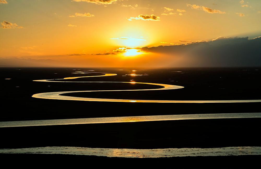
I find it most remarkable that, until 100 years ago, there was a significant Southern Branch of the Waimakariri River. This took the form of a series of constantly changing braided streams. Many of these flowed not that far from Harewood School, which explains how it was possible for the children in the early twentieth century to walk there for a swim.
There is an excellent map drawn in 1856 (known as The Black Map) which shows the water courses of the Waimakariri and its braided southern branches. I viewed it at https://www.thestyx.org.nz/geography-maps. A map drawn by Dennis Hills, a local historian who wrote many books about the Styx River, is similar except that it shows the main branch of the Waimakariri nicely contained.
Unfortunately the geological forces which had created the braided rivers were still at work when Harewood was first settled by Europeans, and catastrophic flooding was a regular problem. The flood of 1868 was particularly severe, and the wide channel which was carved out from the South Branch of the Waimakariri River was still clearly visible in the 1930s (especially in the area where the golf course in Memorial Avenue is sited these days). The floodwaters reached the Avon and flooded central Christchurch. There is a story published in the Press at that time about a Canterbury farmer named TS Mannering who rowed his boat into town to get to the Clarendon Hotel. The water level in Victoria Square apparently got to waist deep during that particular flood.
Something had to be done. In the 1920s work began on establishing stop banks along the Waimakariri River to confine it and its many tributaries to one main channel. This was in the depression years, and the work was done by hundreds of men using only shovels, picks and wheelbarrows. Most of the islands ceased to be islands and just became part of the shingly terrain we are familiar with today. The troublesome South Branch of the river was blocked off from the main branch, but didn’t entirely disappear. It exists now as the spring-fed Otukaikino Stream which flows through the area known as The Groynes. The groynes were actually large blocks constructed by pouring concrete into wool sacks, and these were placed in the southern waterways to separate them from the main branch of the Waimakariri River.
So at least I have some answers to the things about the Harewood landscape which have long intrigued me; how come the Waimakariri River is further away from Harewood School than it used to be, and why we enjoy recreational activities at a place called an island which it isn’t actually an island at all.
Hills, Dennis The Styx Story. The Styx History Group, 2002.