
App makes field data gathering a cinch
Over two lessons this week a class of year 10 social studies students used the ArcGIS app to investigate and map the water fountains at Nayland College.
During the first lesson, students used Survey 123 for ArcGIS to locate the water fountains at the school and identify if they were working or faulty. The students also used the app to take a photo of the water fountain and answer a question about whether they use the water fountain or not.
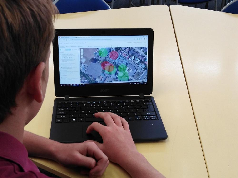
During the second lesson, the students accessed the Survey 123 data using ArcGIS to analyse it. First they located the water fountains on a map and created a layer showing those that worked and another showing those that are faulty.
Then they used the ‘Perform Analysis’ function to create a 20m buffer around the water fountains. This allowed them to identify areas of the school that have poorer access to water fountains and make recommendations about where new water fountains should be located.
Gallery
