
Effects of a disaster on transportation
An SIT research team undertook critical analysis of the Invercargill road network in case of natural hazards.
A significant natural disaster can cause extensive damage to transportation networks, resulting in substantial costs for road governing authorities, access issues for emergency services, and disruptions for road users and the public. The actual or potential effects of natural hazards on people, communities and businesses, property and infrastructure always exist and are exacerbated by sea level rise, especially where coastal land movement is downwards.
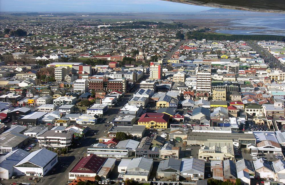
Understanding the damage done by natural hazards to road networks is necessary to analyse vital access routes, lifeline utilities and essential services in Invercargill City. The research team, comprising Mujaddad Afzal and Sujan Maharjan at the Southern Institute of Technology (SIT) and Rehan Masood (formerly of SIT and now Otago Polytechnic), investigated the viability of a road network in Invercargill and mapped the most critical roads of Invercargill in times of natural hazards.
The relative criticality of roads was calculated by identifying and prioritising essential services and utilities such as hospitals and schools, taking into account traffic volume and the number of services and utilities to which roads provided access, and the length of detours. The result was a measure of criticality for every Invercargill road.
Stead Street emerged as the vital route with a 3.2075 overall criticality score. Similarly, Tweed Street, Dee Street and Elles Road have an overall criticality score of >2.33 ≤ 3.17, which is a significant criticality level in the criticality level score. The goal is to contribute to improved city resilience by strengthening these weak links in Invercargill's road transportation network.