
When Worlds Collide
Ihumātao, a west-facing peninsula on the shore of Auckland’s Manukau Harbour, is the city’s oldest settlement. In 1863, the land was illegally confiscated from Māori.
Sacred hills were quarried, 800-year-old burial sites were demolished, archaeological remains were destroyed, a sewage-treatment plant was built over traditional fishing grounds, and a dye spill killed the local creek. Now Ihumātao has been designated a Special Housing Area, without public consultation, and a development of nearly 500 houses is in progress. But for some tangata whenua, enough is enough.
You’d be forgiven for thinking that the industrial area flanking Auckland’s State Highway 20A had little more to offer than warehouses and commercial office blocks. Heading south, the Mainfreight building signals your approach to Auckland Airport, which hunkers down among the mangroves on the south-western edge of the city.
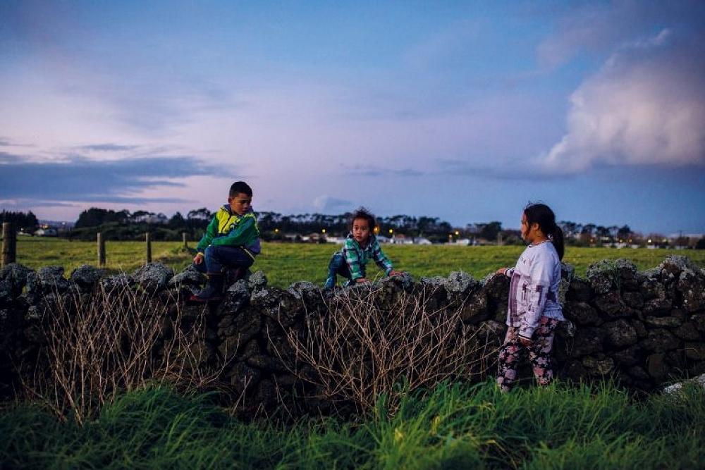
Turn west off the main highway, follow the peninsula, and within minutes you’re amidst coastal farmland, gazing out over Puketutu Island and the glinting Manukau Harbour.
As the village of Ihumātao comes into view, signs appear along the roadside.
“Save our unique landscape.”
“Toitū te whenua, hold fast to the land.”
The signs lead you to the Ōtuataua Stonefields, a historic reserve on the edge of the Manukau Harbour. This is where the Tainui waka arrived more than 800 years ago. Auckland’s first settlers were Te Waiōhua and Te Ahiwaru, and their descendants farmed the rich volcanic soil and built pā on the volcanic cones.
What remains today are lava beds and low walls that crisscross the green reserve. Pukeiti, or Te Puketaapapatanga ā Hape, the smallest cone in Auckland’s volcanic field, stands guard near the entrance to the reserve. The main volcanic cone of Ōtuataua is to the south. Once, it acted as a natural fortification for Ihumātao’s first pā, but it has since been quarried away.
Outcroppings of scoria and basalt rise jagged through the landscape as it slopes gently north-west into the sea. It’s a haunting place, a portal to Auckland’s volcanic past and its first people.
Beside the reserve, on Ōruarangi Road, lies what locals call “the Wallace block”, a 32-hectare piece of farmland that has been owned by the Wallace family for more than 150 years. In December 2016, it was bought by Fletcher Residential for the development of 480 new homes under the Housing Accords and Special Housing Areas Act.
The Wallace block is now known as Special Housing Area 62 (SHA62). But one group has been fighting the project since it was first proposed, and its battle goes back a long way.